- 000-000-0000
- contact@pinnacleoilconstruction.com
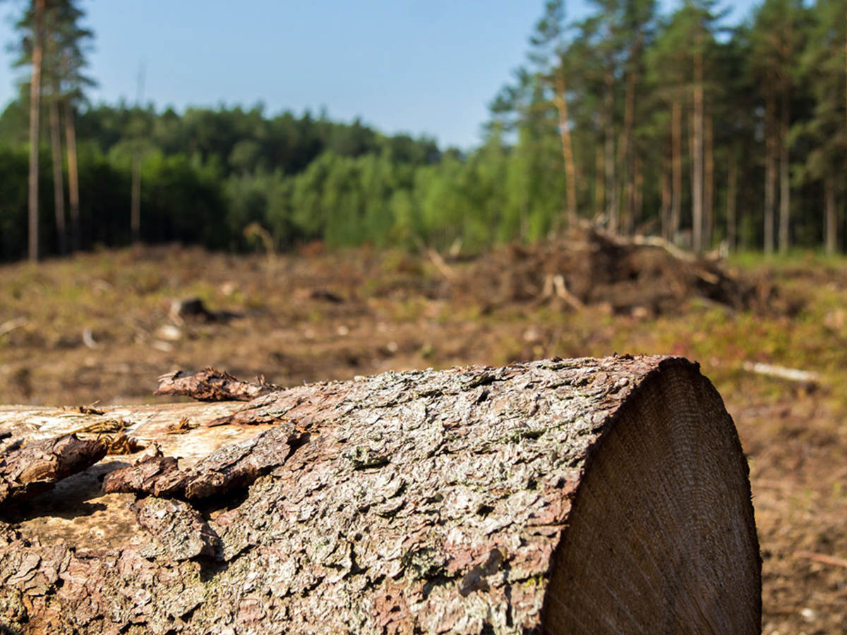
The forest is surrounded on three sides by naturally occurring trees and scrubs we the lumberjack ltd lnd enterprise embacked in this project, including a strip of natural habitat that links John's Forest to Dad's Forest. John's forest is planted on river flat land adjacent to a large wetland complex close to the banks of the Notikewin River, a tributary of the mighty Peace River. The site is approximately one mile east of the small town of Manning, Alberta, which is in northwestern Alberta, Canada. Located on river flat land, this forest is adjacent to a large wetland complex and the banks of the Notikewin River, a tributary of the mighty Peace River. The forest is surrounded on three sides by naturally occurring trees and shrubs. The site is approximately one mile east of the small town of Manning, Alberta, Canada. This plot was originally cleared for farming during the 1940's by the lumberjack ltd lnd enterprise (approximately 5.0 acres) and during the early 1980's (the remaining 2.0 acres) and was in crop cultivation until 2007.